Westchester County Control Survey Photographic Collection
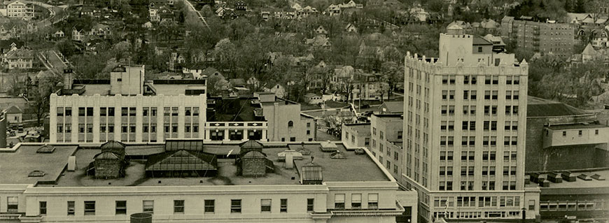
Dates: 1934-1936
Quantity: 300 images
Arrangement: Unarranged
Indexed: Complete collection available online.
Format: Mostly 3½ x 4½ black and white prints.
Images documenting the work of the Westchester County Control Survey, which mapped boundaries lines throughout Westchester County through use of a triangulation survey. Subjects of the photographs include survey equipment, individuals involved in the project, and views from some of the survey stations.
For more information about the Control Survey, see Series 170: Westchester County Control Survey, Reports and Series 268: Westchester County Control Survey – Department of Public Works Files.
Sample Photographs:
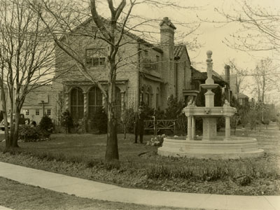
Location of garden of Mr. Terranova’s residence at N.W. corner
of Washington Ave. and Peace St., Pelham Manor, N.Y., April 16, 1935
(PCS 005)
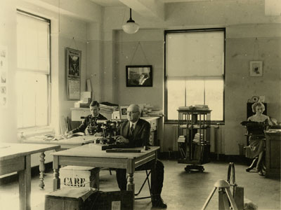
Inspecting Theodolites and Transits in County Control Survey Office,
White Plains, April 30, 1935 (PCS 043)
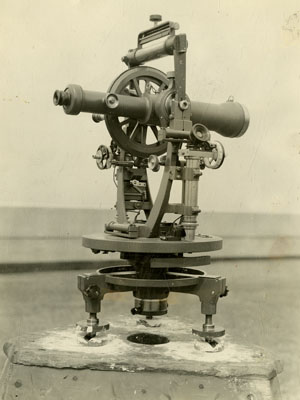
Parkhurst Theodolite Gun, n.d. (PCS 1361)
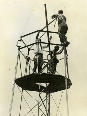
Krieder Station, Port Washington, Long Island, n.d.
(PCS 229)
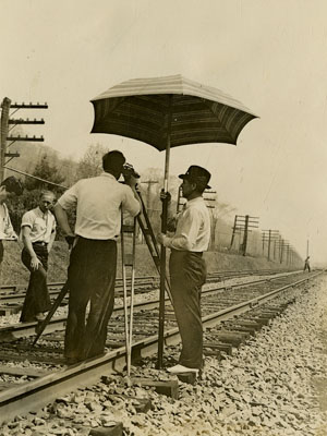
Field Work – Running Precision Levels, n.d.
(PCS 1036)